Natural Resources Inventory
Photo by George Beckwith
Maps
Sean Carroll, our GIS partner from Cornell Cooperative Extension Dutchess County, completed this set of impressive maps. The maps can be viewed online as PDFs or visit Village Hall to see them hanging on the walls.
NRI Report & Appendices
This report analyzes what you see in the maps and draws together the latest research to give the maps interpretive detail and context. The NRI report can be viewed here online as a PDF with accompanying PDF maps. Or you can visit Village Hall, Town Hall, Starr Library or Morton Library to see a printed and bound copy

Steve Rosenberg, member of the Comprehensive Plan Committee, using maps during a fall 2022 public meeting


Your Favorite Photos
Thanks for voting for your favorite photos included in the NRI. We had 40 people submit their best nature photography taken in Rhinebeck. The top 4 vote-getters received a thank you gift: a beautiful nature photography book, curated by Oblong Books.
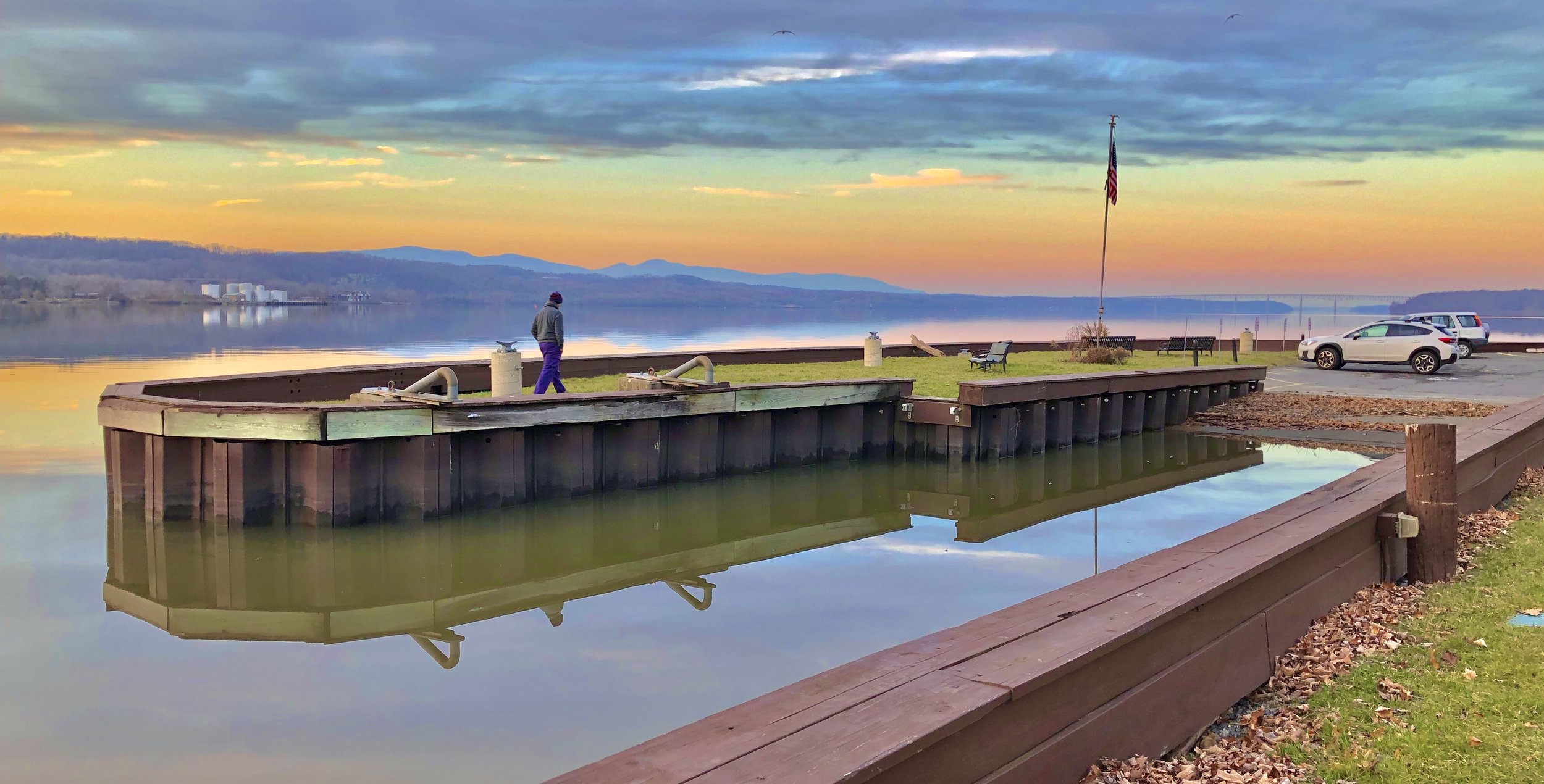
Rhinecliff Landing by Bill Peckmann
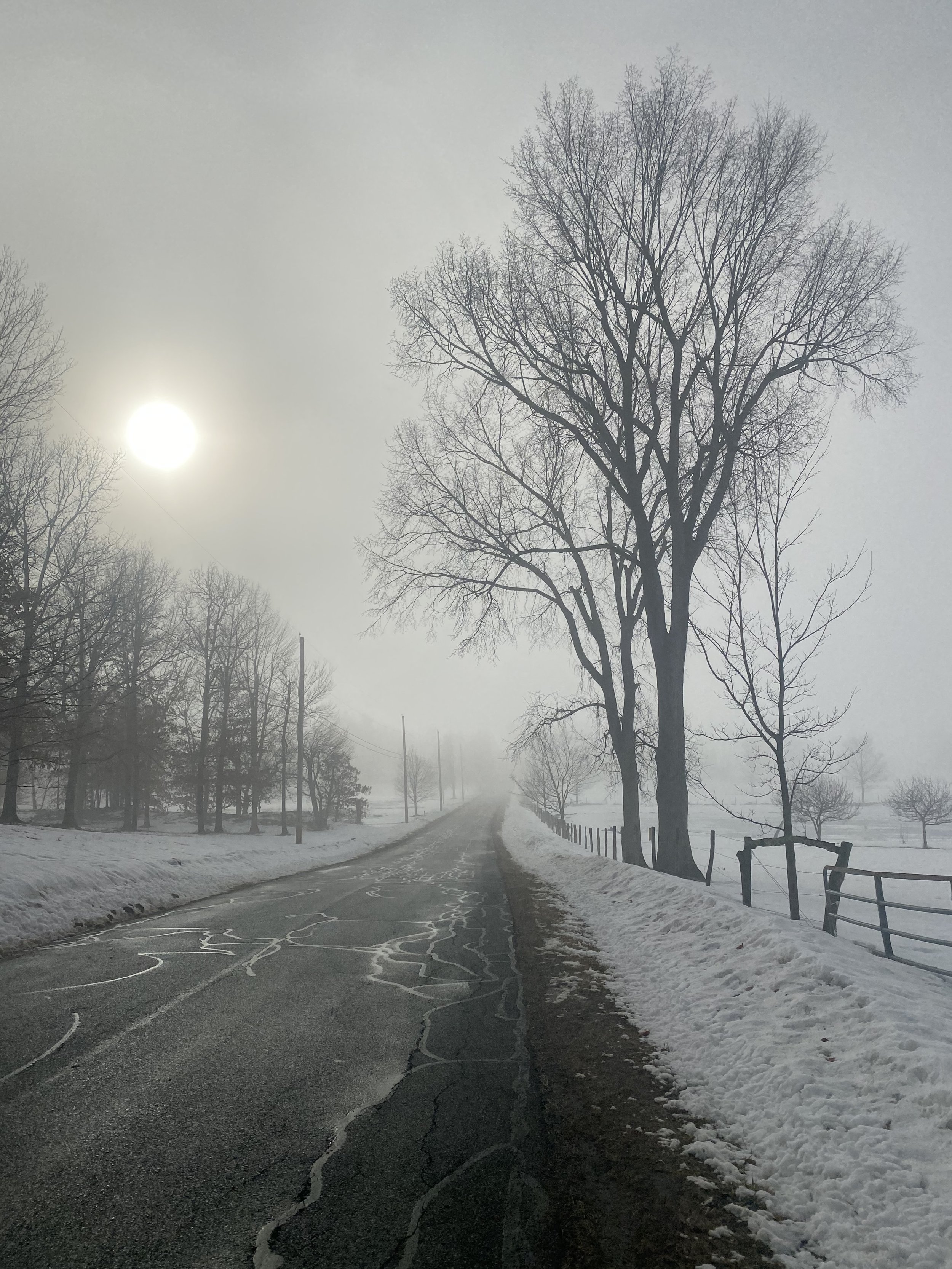
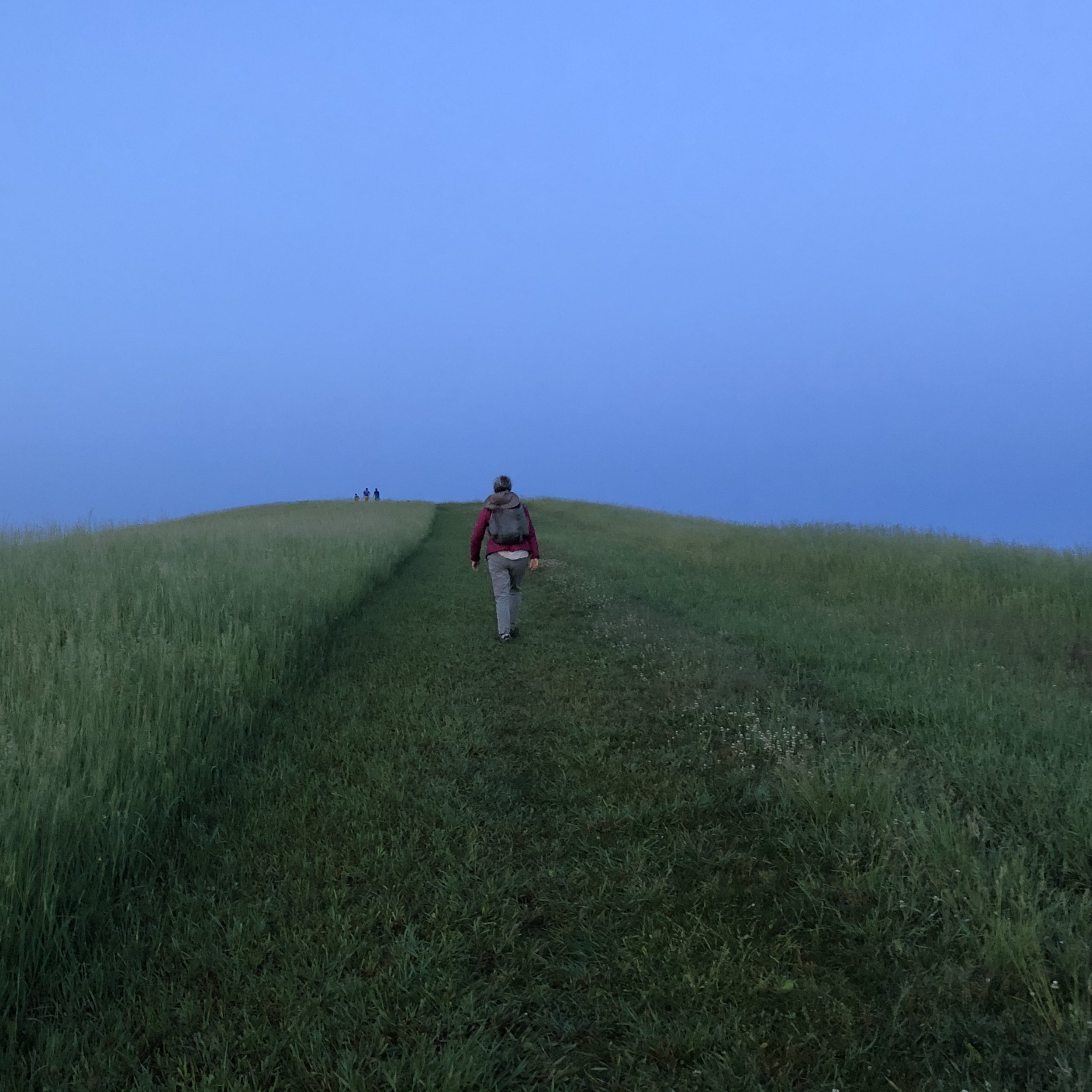
Snowy road by Glenn Hirshon
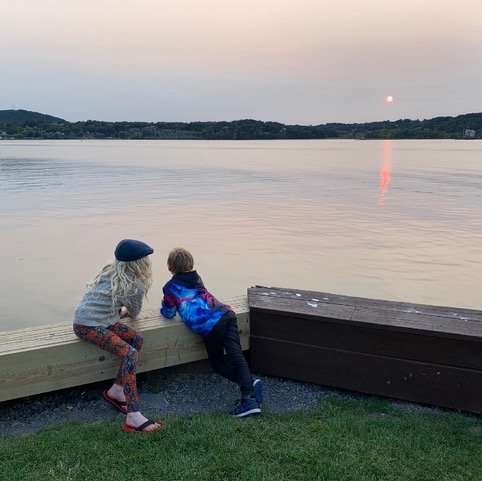
Contemplating Sea Level Rise by Avery Gilbert
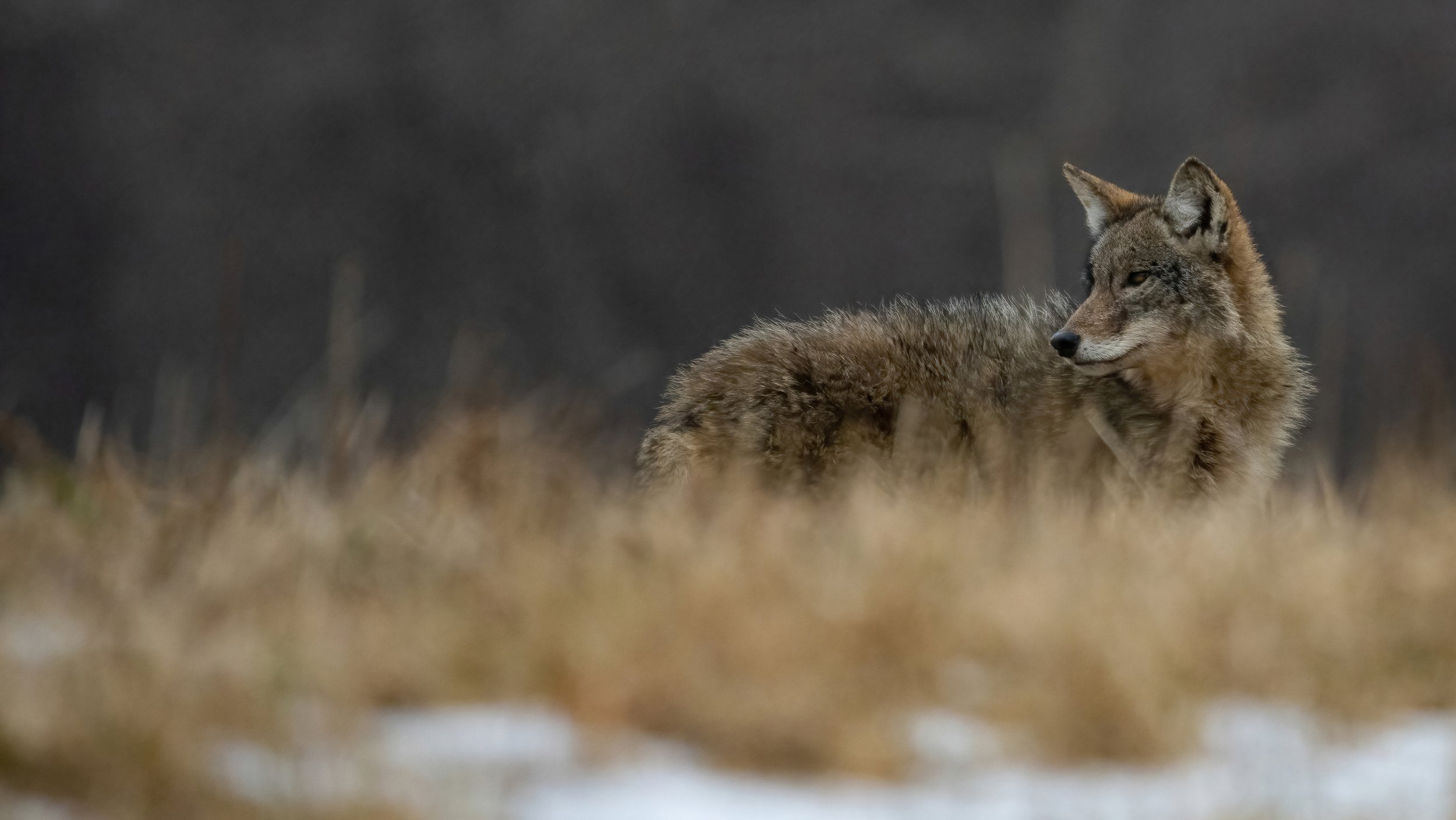
Coyote by Wil LaBossier
Understanding Our Ecosystem
& Our Role in It
A Natural Resources Inventory is a planning tool, most often used by Conservation Advisory Boards and Planning and Zoning Boards. In essence, it’s a collection of maps with narrative text explaining what is found on those maps. The NRI should be adopted as a piece of the Village Comprehensive Plan. The completion of the NRI will gain the Village points towards silver certification in the Climate Smart Communities program. We also envision the NRI as a community tool, where residents and the school district can explore this public information and develop a deeper understanding of the various aspects of our ecosystem.
The Village of Rhinebeck, as part of our Climate Smart efforts, led this project. The Village, the Town of Rhinebeck, and Town of Hyde Park are grateful to be receiving expert support and technical assistance from the DEC’s Hudson River Estuary Program to jointly conduct an NRI process. We also thank Cornell Cooperative Extension Dutchess County (CCE Dutchess) for their mapping assistance. The project kicked off in Spring 2021 and was completed in May 2022.
Working Group Members:
Trustee Vanessa Bertozzi, Village lead
Carli Fraccarolli, CSC Task Force member, GIS, Scenic Hudson
Christopher Tavener, architect, Village Zoning Board of Appeals
Scout Pronto, CSC Task Force member, student climate change leader
Learn more about the Town’s working group here.
HREP point person Nate Nardi-Cyrus presents to the Village Planning and Zoning Boards on September 21, 2021.
Trustee Bertozzi presents an update to the Village Board at the September 28th, 2021 Village Board Meeting.
Project Materials
-
Upcoming Meetings
-
Agendas, Minutes, and Materials
May 11 Meeting
April Meeting:
March 23 Meeting:
Agenda
Minutes
RecordingFebruary 23 Meeting:
Agenda
Minutes
NRI Timeline
RecordingJanuary 12 Meeting:
AgendaNovember 30 Meeting:
Agenda
Minutes
RecordingOctober 27 Meeting:
Agenda
Minutes
Recording
September 22 Meeting:
Agenda
MinutesAugust 25 Meeting:
Agenda
Minutes
Recording -
Background Info on NRIs
Here’s a helpful 2-page fact sheet about NRIs. For a more in-depth guide on NRIs, check out this PDF.
Example NRIs:
Philipstown’s NRI notably addresses carbon sequestration: ”Philipstown’s ecosystems capture 40%, or approximately 80,000 Metric Tons of CO2-equivalent, of the Town’s total annual community greenhouse gas emissions in a year, most of which is performed by the Town’s deciduous forests.”
The Town and Village of New Paltz just created an NRI and posted it here. They use an inset map to show the village on static maps and a web mapper to make zooming in even easier. Developing a mapper like this would be outside of our project scope but could be something we find funding for in the future.